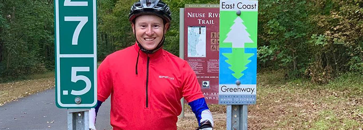
Amid a public health crisis, an NC State Facilities Division employee has found a way to give back with maps.
At NC State, Andrew Futrell specializes in maintaining data on campus utility infrastructure through geographic information systems, known as GIS. Now, he’s using that same technology to identify drive-up testing sites for COVID-19.
Futrell volunteers with GISCorps, which has engaged hundreds of GIS professionals in creating a global map of testing locations.
“I’ve adopted eight counties in North Carolina — Wake, Durham, Orange, Moore, Richmond, Randolph, Davidson and Rowan — to maintain and update during this health crisis,” he says.
Several times a week, Futrell browses local media reports, social media and local government websites for the latest details on COVID-19 testing locations. If the information isn’t available, he may also reach out to local health departments.
“I am delighted I can assist in streamlining COVID-19 testing center locations for those who need it,” says Futrell, who is an NC State graduate. “Testing locations change. For example, one site had to close temporarily because they didn’t have enough [personal protective equipment]. One of the goals is that this map captures some of that fluidity and provides the latest information.”
This story originally appeared in NC State News

